The urban-wildland interface represents one of the most dynamic and vulnerable landscapes on our planet, where human development meets natural ecosystems in often unpredictable ways.
🌆 Understanding the Urban-Wildland Interface Challenge
The urban-wildland interface (UWI) has emerged as a critical focal point for researchers, urban planners, and environmental scientists worldwide. This transitional zone, where residential or commercial development meets undeveloped natural vegetation, presents unique challenges that affect millions of people living at the edge of wilderness areas. As urban sprawl continues to expand, understanding and mapping these interfaces has become essential for community safety, environmental conservation, and sustainable development.
What makes the UWI particularly complex is its dual nature. It’s simultaneously a place of extraordinary opportunity—offering residents access to nature, recreational spaces, and environmental benefits—and significant risk, particularly from wildfires, flooding, wildlife conflicts, and ecosystem degradation. The increasing frequency of catastrophic wildfires in California, Australia, and Mediterranean regions has thrust this interface into the global spotlight, demanding innovative approaches to risk assessment and management.
🔥 Why Hotspot Mapping Matters Now More Than Ever
Hotspot mapping has revolutionized how we identify, analyze, and respond to risks at the urban-wildland interface. This sophisticated approach uses geographic information systems (GIS), satellite imagery, and advanced data analytics to create detailed visualizations of risk concentration areas. Unlike traditional mapping methods, hotspot mapping reveals patterns and clusters that might otherwise remain hidden in raw data.
The urgency for comprehensive hotspot mapping has intensified due to several converging factors. Climate change has extended fire seasons and increased drought conditions in many regions. Population growth continues pushing development into previously undeveloped areas. Vegetation management practices have evolved, sometimes creating unexpected fuel loads. These factors combine to create a constantly shifting risk landscape that requires dynamic, data-driven monitoring.
The Technology Behind Modern Risk Assessment
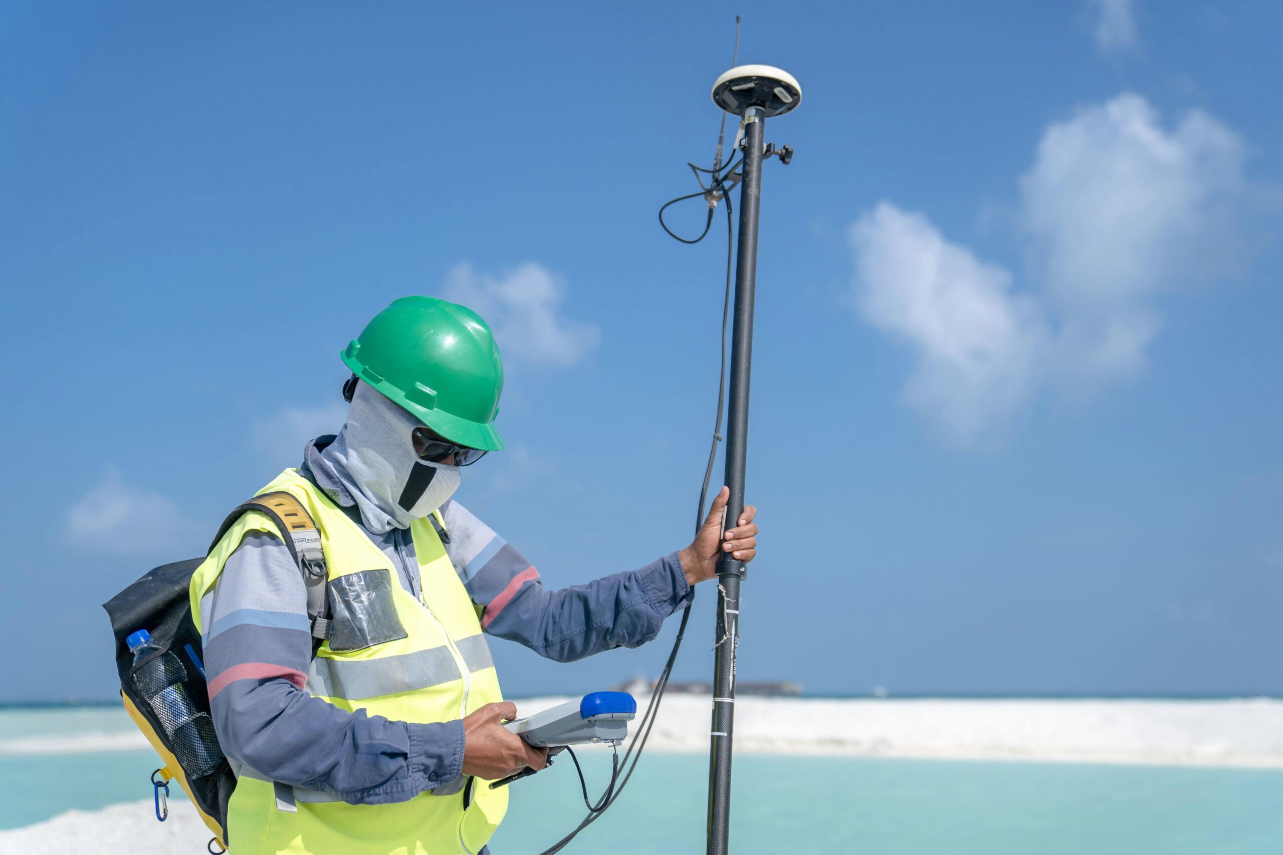
Contemporary hotspot mapping leverages multiple data sources to create comprehensive risk profiles. Remote sensing technology captures vegetation density, moisture content, and topographical features. Weather stations provide real-time climate data including temperature, humidity, and wind patterns. Historical incident databases offer insights into past fire behavior and other hazards. Machine learning algorithms process these diverse inputs to identify areas of elevated concern.
Advanced platforms now integrate thermal imaging from drones, ground-based sensor networks, and crowdsourced data from residents. This multi-layered approach creates remarkably accurate predictive models that can forecast risk with unprecedented precision. Some systems even incorporate social media data to track real-time conditions and human activity patterns that might influence risk levels.
🗺️ Hidden Risks Revealed Through Strategic Mapping
Traditional risk assessment often relies on obvious factors like proximity to wildland areas or historical fire records. However, sophisticated hotspot mapping uncovers less apparent vulnerabilities that can prove equally dangerous. These hidden risks represent some of the most critical discoveries in contemporary interface research.
Microclimatic Variations and Fire Behavior
Detailed mapping reveals that small-scale topographical features create microclimates that dramatically influence fire behavior. A north-facing slope might retain moisture differently than a south-facing one just meters away. Narrow valleys can funnel winds, creating unexpected fire corridors. These subtle variations, invisible to casual observation, become clearly identifiable through proper mapping protocols.
Vegetation composition also plays a nuanced role that hotspot mapping illuminates. Mixed vegetation types create varying fuel loads and fire intensities. Invasive species often burn differently than native plants, sometimes increasing fire risk substantially. Mapping these botanical patterns helps identify areas where seemingly benign landscapes harbor significant hazards.
Infrastructure Vulnerabilities
Hotspot mapping exposes critical infrastructure weaknesses that standard assessments might overlook. Power lines running through high-risk corridors, aging water systems unable to support firefighting demands, and road networks with insufficient evacuation capacity all become visible through comprehensive spatial analysis. This information proves invaluable for prioritizing infrastructure improvements and emergency planning.
The mapping process also reveals accumulation points where multiple risk factors converge. A neighborhood might feature adequate defensible space but lack secondary evacuation routes. Another area might have excellent road access but insufficient water infrastructure. Identifying these compound vulnerabilities allows for targeted interventions that address the most critical gaps.
🌟 Unexpected Opportunities at the Interface
While much attention focuses on risks, hotspot mapping also illuminates remarkable opportunities for communities at the urban-wildland interface. These opportunities span ecological restoration, community development, economic growth, and environmental innovation.
Ecological Corridors and Biodiversity Conservation
Strategic mapping identifies potential wildlife corridors that can maintain biodiversity even as development expands. These pathways allow animals to move safely between habitat patches, maintaining genetic diversity and ecological balance. By recognizing these corridors during the planning phase, communities can design development that accommodates both human needs and wildlife conservation.
Hotspot mapping also reveals areas where ecological restoration efforts would yield maximum benefit. Degraded zones that once provided natural fire breaks or water retention can be identified and prioritized for rehabilitation. These restoration projects often deliver multiple benefits, including reduced hazard risk, improved water quality, and enhanced recreational opportunities.
Economic Development and Green Infrastructure
Properties at the urban-wildland interface often command premium values due to their natural amenities. Hotspot mapping helps developers and municipalities identify locations where responsible development can occur with minimal ecological impact and manageable risk profiles. This intelligence supports sustainable growth that preserves property values while protecting natural resources.
The mapping process also highlights opportunities for green infrastructure investments that serve dual purposes. Strategic fuel breaks can double as recreational trails. Vegetation management zones can incorporate community gardens or educational spaces. Water retention systems designed for fire suppression can also manage stormwater and create wildlife habitat.
📊 Implementing Effective Mapping Strategies
Successful hotspot mapping requires careful planning, appropriate technology selection, and community engagement. Organizations embarking on mapping initiatives should consider several key factors to ensure their efforts produce actionable results.
Essential Data Collection Methods
Comprehensive mapping programs incorporate multiple data collection approaches. Satellite imagery provides broad coverage and historical comparison capabilities. Aerial drone surveys offer detailed, customizable perspectives of specific areas. Ground-truthing by trained observers validates remote observations and captures details that aerial methods might miss.
Sensor networks installed throughout interface zones provide continuous monitoring of critical variables. Temperature, humidity, soil moisture, and wind speed sensors create real-time risk profiles that update automatically. These systems can trigger alerts when conditions reach dangerous thresholds, enabling proactive responses before incidents occur.
Community Participation in Data Gathering
Residents living at the urban-wildland interface possess invaluable local knowledge about their environments. Crowdsourcing platforms allow community members to report observations, upload photos of concerning conditions, and verify mapped information. This participatory approach not only improves data quality but also builds community awareness and engagement with interface management issues.
Educational programs that teach residents to recognize and report risk factors create ongoing monitoring networks that complement technological systems. Citizens trained in basic vegetation assessment, infrastructure vulnerability identification, and wildlife activity tracking become force multipliers for professional management teams.
🛡️ From Mapping to Action: Implementation Frameworks
Creating detailed hotspot maps represents only the first step in effective interface management. Translating map data into practical risk reduction and opportunity realization requires systematic implementation frameworks that connect analysis with action.
Prioritization Matrices for Resource Allocation
Not all identified risks demand immediate attention, nor can all opportunities be pursued simultaneously. Effective frameworks employ prioritization matrices that consider risk severity, exposure levels, available resources, and implementation feasibility. High-risk areas with significant populations naturally receive priority, but mapping often reveals moderate-risk areas where relatively simple interventions could yield substantial improvements.
Opportunity prioritization follows similar logic. Projects offering multiple benefits—risk reduction, community amenity, ecological value—rank higher than single-purpose initiatives. Cost-benefit analysis informed by mapping data helps decision-makers allocate limited resources where they’ll achieve maximum impact.
Adaptive Management Approaches
The urban-wildland interface constantly evolves due to vegetation growth, climate variations, development changes, and management interventions. Effective implementation frameworks incorporate adaptive management principles that treat initial plans as hypotheses to be tested and refined through monitoring and evaluation.
Regular mapping updates track how conditions change over time and whether implemented strategies achieve desired outcomes. This iterative process allows managers to identify successful approaches worth expanding and recognize ineffective tactics requiring modification. The result is continuously improving management that responds to real-world conditions rather than static assumptions.
🌍 Global Perspectives and Local Applications
While the urban-wildland interface concept originated primarily in fire-prone regions, communities worldwide are discovering its relevance to diverse environmental challenges. Hotspot mapping principles developed for wildfire risk translate remarkably well to other interface management contexts.
Mediterranean communities apply these techniques to address both fire risk and water scarcity. Tropical regions use similar approaches for managing human-wildlife conflict and zoonotic disease transmission. Temperate forests employ hotspot mapping to balance recreation demand with ecosystem preservation. Arctic communities adapt these methods to track permafrost degradation and climate change impacts on traditional land use patterns.
Customizing Approaches for Local Conditions
Successful mapping programs recognize that template solutions rarely work without modification. Local environmental conditions, cultural factors, regulatory frameworks, and resource availability all influence how hotspot mapping should be implemented. Communities benefit most when they adapt proven principles to their unique circumstances rather than attempting to transplant systems wholesale from other regions.
This customization process itself provides valuable insights. Local adaptations often reveal risk or opportunity factors not previously recognized in the broader literature. Sharing these discoveries across communities creates a growing knowledge base that benefits interface management worldwide.
🚀 The Future of Interface Management
Hotspot mapping technology continues evolving rapidly, with emerging capabilities promising even more sophisticated risk assessment and opportunity identification. Artificial intelligence systems are learning to predict fire behavior with remarkable accuracy. Hyperspectral imaging distinguishes plant stress levels invisible to conventional photography. Integration with climate models extends forecast horizons from days to decades.
Virtual and augmented reality applications allow stakeholders to visualize mapping data in intuitive ways. Community members can “see” how proposed vegetation management will change their neighborhoods. Emergency responders can rehearse evacuations in digital twins of real interface areas. These immersive technologies bridge the gap between abstract data and concrete understanding.
Building Resilient Interface Communities
The ultimate goal of hotspot mapping extends beyond simply avoiding disasters. Forward-thinking communities use mapping insights to build genuine resilience—the capacity not just to withstand shocks but to adapt, learn, and improve through challenges. This resilience emerges from physical infrastructure improvements, ecological restoration, social capital development, and economic diversification.
Mapping reveals how these resilience dimensions interconnect. Strong social networks facilitate information sharing during emergencies. Diversified local economies recover more quickly from disruptions. Healthy ecosystems provide services that reduce vulnerability. By visualizing these connections, communities can design holistic strategies that address multiple needs simultaneously.

🤝 Collaboration as the Key to Success
Perhaps the most important insight from successful hotspot mapping initiatives is that effective interface management requires unprecedented collaboration across traditional boundaries. Fire departments, urban planners, conservation biologists, social scientists, insurance companies, and community organizations all bring essential perspectives to the challenge.
Mapping platforms increasingly serve as common operating pictures that facilitate this collaboration. When diverse stakeholders view the same data and understand risk patterns similarly, they can coordinate actions more effectively. Shared situational awareness reduces duplication, closes gaps, and creates synergies between complementary initiatives.
The urban-wildland interface represents humanity’s evolving relationship with natural systems. As more people choose to live at this intersection, our ability to navigate its complexities will determine both human safety and ecological integrity. Hotspot mapping provides the essential intelligence needed to make wise choices—revealing hidden dangers that demand attention and unexpected opportunities worth pursuing. Communities that embrace these tools position themselves not merely to survive at the interface but to thrive there, creating models of sustainable coexistence that benefit both people and planet.